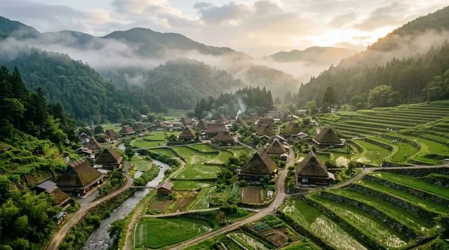
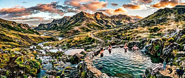
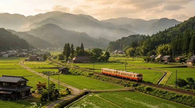
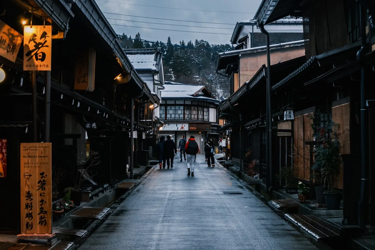

Most visitors arrive at Kamikōchi for the same 90 minutes: the walk from the bus terminal to Kappa Bridge, a few photos with the Hotaka peaks reflected in the river, and the bus back to Matsumoto. That is a completely reasonable way to spend a morning. What most don't realise is that the same wooden bridge is also the starting point for one of Japan's most serious alpine traverses: hut-supported multi-day routes that climb nearly 1,700 metres to the summit of Yarigatake and the Hotaka range, drawing experienced trekkers from across the country every July and August. The two experiences share a trailhead but almost nothing else.
This guide is structured as a difficulty ladder. Tier 1 covers the flat valley floor: easy, no gear required, done in one to three hours. Tier 2 extends the walk upstream toward Tokusawa and Yokoo: still relatively flat but longer, much quieter past Myōjin, and the point where you start to read the mountains differently. Tier 3 is the Japan Alps proper, a world of scrambling sections, fixed chains, mountain-hut dinners, and summit views that require two days minimum, the right equipment, and a realistic appraisal of your fitness. Read the tiers in order and choose the one that honestly matches your trip.
This guide picks up where the Kamikōchi destination overview leaves off. For full arrival logistics (getting there, overnight options in the valley, and what to do on a day visit), start there first, then come back here for the hiking detail.
Getting to Kamikōchi
Private vehicles have been banned from Kamikōchi since 1975. The only way in by road is shuttle bus or taxi through the road tunnel. From Matsumoto, take the local Matsumoto train to the end of the line, then an ALPICO bus to the Kamikōchi bus terminal: around 75 minutes total, roughly ¥2,500–¥3,000 each way. Alternatively, drive to the Sawando parking area (¥700 per day) and take the shuttle bus from there (about 20–30 minutes, ¥1,500 one-way). From 2025, seats on all Matsumoto–Kamikōchi buses require advance reservation. Full timetables and overnight accommodation in the valley are covered on the Kamikōchi destination overview.
Getting There
From Matsumoto
- 1Take Matsumoto Electric Railway from Matsumoto Station → Shin-Shimashima Station
- 2Take ALPICO bus from Shin-Shimashima → Kamikōchi Bus Terminal
- 3Walk from bus terminal → Kappa Bridge
Which Kamikōchi hiking tier suits you?
Two questions. Your tier match appears below.
1–3 hoursYour match
Tier 1: the valley floor
Flat boardwalk between Kappa Bridge, Taishō Pond, and Myōjin Pond. No gear, no elevation gain. The classic Kamikōchi experience.
You want Kamikōchi's famous scenery without any preparation; suitable for all ages.
2.5–3 hours each directionYour match
Tier 1: a full valley day
Both directions from Kappa Bridge (south to Taishō Pond, north to Myōjin Pond) at a relaxed pace. Still flat, no gear needed.
You have a full day but prefer easy terrain and iconic scenery.
6–7 hoursYour match
Tier 2: Tokusawa or Yokoo day hike
Extend past Myōjin to Tokusawa (2.5 hours from Kappa Bridge) or Yokoo (3.5–4 hours). Flat but quieter and longer; Yokoo is where the mountains begin.
You want distance and solitude without alpine terrain or overnight logistics.
2 daysYour match
Tier 2: extended walk with overnight
Walk to Tokusawa-en on day one and overnight at the lodge, return via Myōjin on day two. More distance than a day trip, no alpine terrain required.
You have two or more days and want a comfortable, unhurried walk into the quieter valley.
3 days, 2 nightsYour match
Tier 3: alpine route via Yarigatake
Yokoo to Yarigatake summit (3,180 m) via Yarisawa gorge: 1,675 m elevation gain, fixed chains near the top. Hut-supported, serious alpine.
You have two or more nights, prior alpine experience, and confirmed hut bookings.
Tier 1: the valley floor
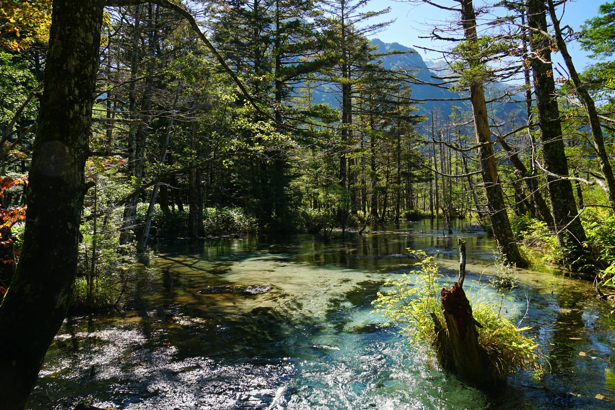
This is Kamikōchi as most visitors know it, and there is nothing wrong with that. The valley floor is flat, well-maintained boardwalk and gravel path, suitable in ordinary walking shoes, and genuinely spectacular. The river runs clear between cottonwood-draped banks, and the Hotaka peaks fill the sky wherever the treeline opens.
The two main walks from Kappa Bridge run in opposite directions along the valley.
South to Taishō Pond: 3.5 km from Kappa Bridge, about 60–70 minutes one way. The pond was formed in 1915 when the eruption of Mount Yakedake dammed the river; the skeletal trunks of drowned larch trees still stand in the shallows. The path follows the riverbank with wide views south toward the volcanic cone. Return the same way or continue looping around the pond.
North to Myōjin Pond: about 60 minutes upstream from Kappa Bridge. Just before the pond, Myōjin Bridge crosses the river; the inner sanctuary of the valley's main mountain shrine sits on the opposite bank. The pond itself (¥500 admission) is split into two basins by a pine-covered causeway. The inner basin is completely still and hemmed by peaks. It photographs well but rewards those who linger.
Pick this tier if: you have half a day, are visiting with children or older family members, or want Kamikōchi's famous scenery without preparation. The return walk between Kappa Bridge and Myōjin Pond takes around 2.5–3 hours at a relaxed pace including stops, and requires nothing more than comfortable shoes.
Tier 2: extending the valley to Tokusawa and Yokoo
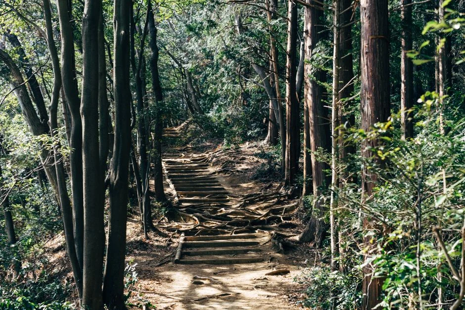
The trail beyond Myōjin Pond shifts character. The path continues upstream through old-growth forest, the crowds thin sharply, and the mountains feel noticeably closer. This extension adds real distance without adding real difficulty; the trail stays flat and clearly marked throughout.
Tokusawa: 3.7 km beyond Myōjin Pond, about 60 minutes from Myōjin and 2.5 hours from Kappa Bridge one way. An alpine meadow with a mountain lodge (Tokusawa-en) that serves meals and offers dormitory accommodation, useful if you want to break the walk over two days without stepping into alpine terrain. In early summer, large patches of anemones line the riverside path on the approach.
Yokoo: around 90 minutes beyond Tokusawa, approximately 3.5–4 hours from Kappa Bridge. This is where the valley ends and the alpine begins. Yokoo is where the trail officially enters mountaineering territory: the signs start quoting elevation, the peaks ahead are suddenly very close, and the path beyond crosses into a different class of terrain. The mountain lodge at Yokoo offers accommodation and meals, and is the last comfortable stopping point before the alpine routes proper. Most hikers targeting Yarigatake spend their first night here.
Pick this tier if: you want a full day of walking and more solitude than the valley floor offers. From Kappa Bridge to Tokusawa and back is a rewarding 5–6 hour day. Going all the way to Yokoo and returning the same day is feasible for fit walkers who start early, but it is a long day, and you will feel it.
Tier 3: into the alpine, Yarigatake and the Hotaka range
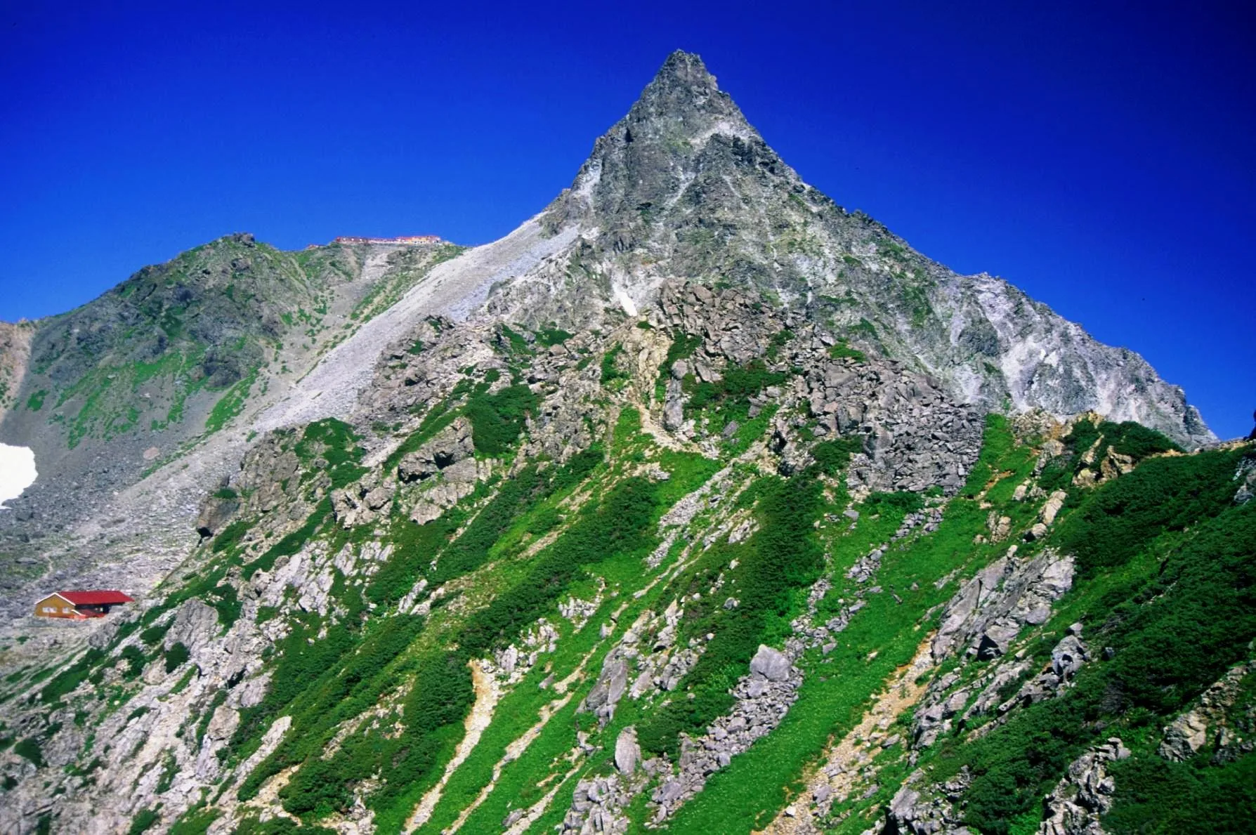
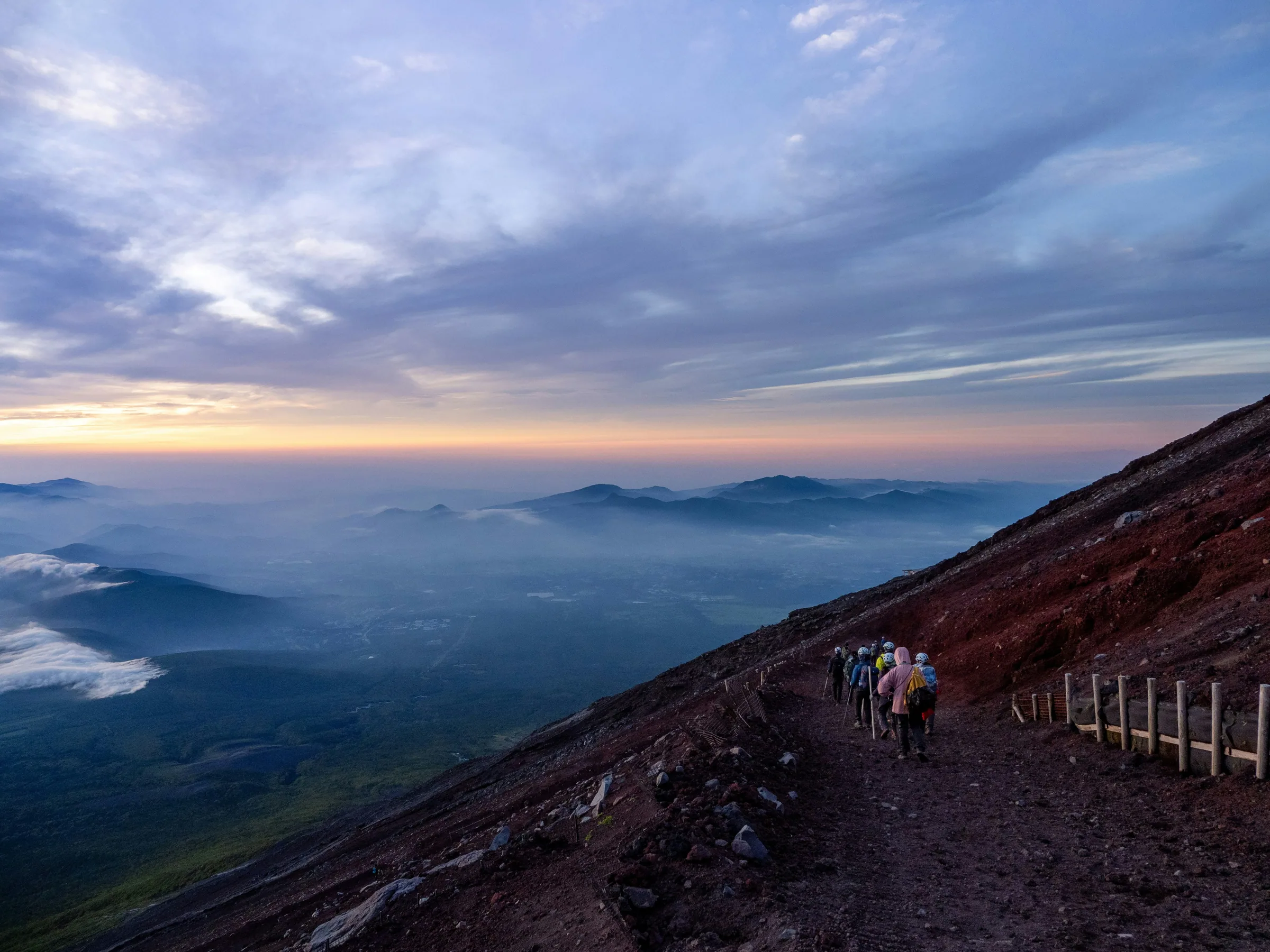
From Yokoo, the trails leave the valley floor and begin climbing toward the 3,000-metre ridgeline. These are serious mountain routes: significant elevation gain, multiple days of effort, and sections near the summit that require hands as well as feet. Know what you are signing up for before booking a hut.
The Yarigatake route
The standard route from Yokoo follows the Yarisawa valley upstream through a progressively narrowing gorge to Yarigatake (3,180 m). The full round trip from Kamikōchi is typically done as a 3-day, 2-night itinerary, with the first night at the Yokoo lodge and the second at the Yarigatake summit hut (about 20 minutes below the peak). Total elevation gain from Kamikōchi is approximately 1,675 metres. The final approach to the summit involves fixed chains and exposed scrambling on bare rock: not technical climbing, but no terrain to be casual about if heights make you uncomfortable.
The Hotaka traverse
Experienced trekkers frequently continue from Yarigatake along the ridge to Okuhotaka-dake (3,190 m, Japan's third-highest peak), traversing the Daikiretto, a knife-edge section where the ridge narrows dramatically, with steep drops on both sides. This extension adds a day and significantly raises the technical demands. It is well within the reach of confident mountain hikers, but it is not a route to approach casually.
Mountain huts: The hut network along these routes is excellent. The Yokoo lodge, the Yarigatake summit hut, and several huts along the Hotaka ridge all offer beds, cooked meals, and water. In peak season (late July and August) these fill weeks ahead, so book as soon as your dates are confirmed. Camping is available near most huts if you prefer to carry a tent.
Pick this tier if: you have two or more days, are comfortable on steep and exposed terrain, have experience on multi-day alpine routes, and have booked your huts. This is not a route to improvise. The view from Yokoo tells you clearly where the valley ends and the mountains begin; turning around there after a proper look is a sound decision for most visitors.
Season and weather
Kamikōchi's valley floor is open from late April (the official seasonal opening is typically April 27) to November 15. The flat valley walk can be done at any point in this window. Late spring brings fresh greenery; autumn (mid-October through early November) brings larch and birch colour across the valley floor.
The alpine routes above Yokoo operate on a much shorter timetable. Snow typically blocks the higher trails until mid-July, and conditions deteriorate again from mid-October. The practical alpine window is mid-July to mid-October, roughly three months against the valley floor's six-plus. Even within that period, afternoon thunderstorms are common above the treeline and can arrive fast. On alpine routes, start early and have a turn-around plan for when the sky changes.
August is the busiest month across all tiers and the hardest for hut availability. Late July and September offer a better balance: most huts open, fewer crowds, and weather that is generally stable by morning.
Practical tips
- Gear by tier: Tier 1: walking shoes and a light bag. Tier 2 to Tokusawa: comfortable trainers and an extra layer. Tier 2 to Yokoo: trail shoes or light hiking boots. Tier 3: full hiking boots, trekking poles, rain gear, a headtorch, and a hut reservation in hand.
- Bus reservations: From 2025, all seats on Matsumoto–Kamikōchi direct buses require advance booking. Reserve through ALPICO's website or at the bus terminal.
- Hut booking reality: August huts on the Yarigatake route book out weeks ahead. Most open reservations in spring. Do not plan to show up and hope for a bed; there is no bail-out option once you are deep in the Yarisawa gorge after dark.
- Start times for Tier 3: Leave the trailhead by 6:00–7:00 to reach mountain huts before afternoon weather closes in. Valley-floor walks can start whenever the bus arrives.
- A one-day alpine taste: Walking from Kamikōchi to Yokoo and back (roughly 22 km, 6–7 hours flat) lets you see exactly where the valley ends and the alpine zone begins, without scrambling or hut logistics. A realistic alternative for those with one full day and solid trail fitness who want more than the valley floor.
- Trail context: Kamikōchi feeds directly into the hiking in Japan trail-tier system, with the valley floor as a Tier 1 route and the high-alpine traverse as a Tier 3 benchmark. If you're planning a broader Japan hiking trip, the 3-day Japanese Alps itinerary covers how Kamikōchi fits alongside Matsumoto and Takayama.
Kamikōchi hiking FAQ
Can I hike Kamikōchi without any gear?
Yes, for the valley floor. The path between Kappa Bridge, Taishō Pond, and Myōjin Pond is flat, well-maintained, and walkable in ordinary shoes. No poles, no technical footwear, no prior hiking experience required. The shuttle bus drops you at the terminal; Kappa Bridge is a 6-minute walk.
How do I get from Kamikōchi to Yarigatake?
From the bus terminal, walk upstream past Myōjin Pond, Tokusawa, and Yokoo: around 3.5–4 hours of flat trail to reach Yokoo, where the climb to Yarigatake begins. Most hikers spend the first night at the Yokoo lodge, the second at the summit hut near Yarigatake's peak, and reach the top on the morning of day three before descending to Kamikōchi. Total: approximately 39 km and 1,675 m elevation gain across the round trip.
Do I need to book a mountain hut in advance?
Yes, and well in advance. In peak season (late July and all of August) huts on the Yarigatake route book out weeks ahead. Most open reservations in spring. Arriving without a booking is not a safe plan: there is no realistic bail-out once you are deep in the Yarisawa gorge, and camping at altitude in summer thunderstorm weather is not something to improvise.
When is the best season to hike the Japan Alps from Kamikōchi?
For the alpine routes above Yokoo (Yarigatake, Okuhotaka), the usable window is mid-July to mid-October. Snow blocks the higher trails before mid-July; huts start closing and snow returns from mid-October. August is the busiest month and the hardest for hut availability. Late July and September are good alternatives: quieter, huts still open, and conditions generally stable in the mornings.
Is Kamikōchi hiking suitable for beginners?
The valley floor is suitable for everyone, including families with young children and older walkers; no experience needed. The Tier 2 extension to Tokusawa is within reach of any reasonably fit adult. The Tier 3 alpine routes are not for beginners: they require multi-day trekking endurance, comfort on steep exposed ground, and the judgment to turn around when conditions change. If this is your first trip hiking in Japan, the hiking in Japan guide has a trail-tier tool to help match routes to your experience level.
Nearby
Kamikōchi sits at the heart of the Nagano mountains, and these are the natural next stops.