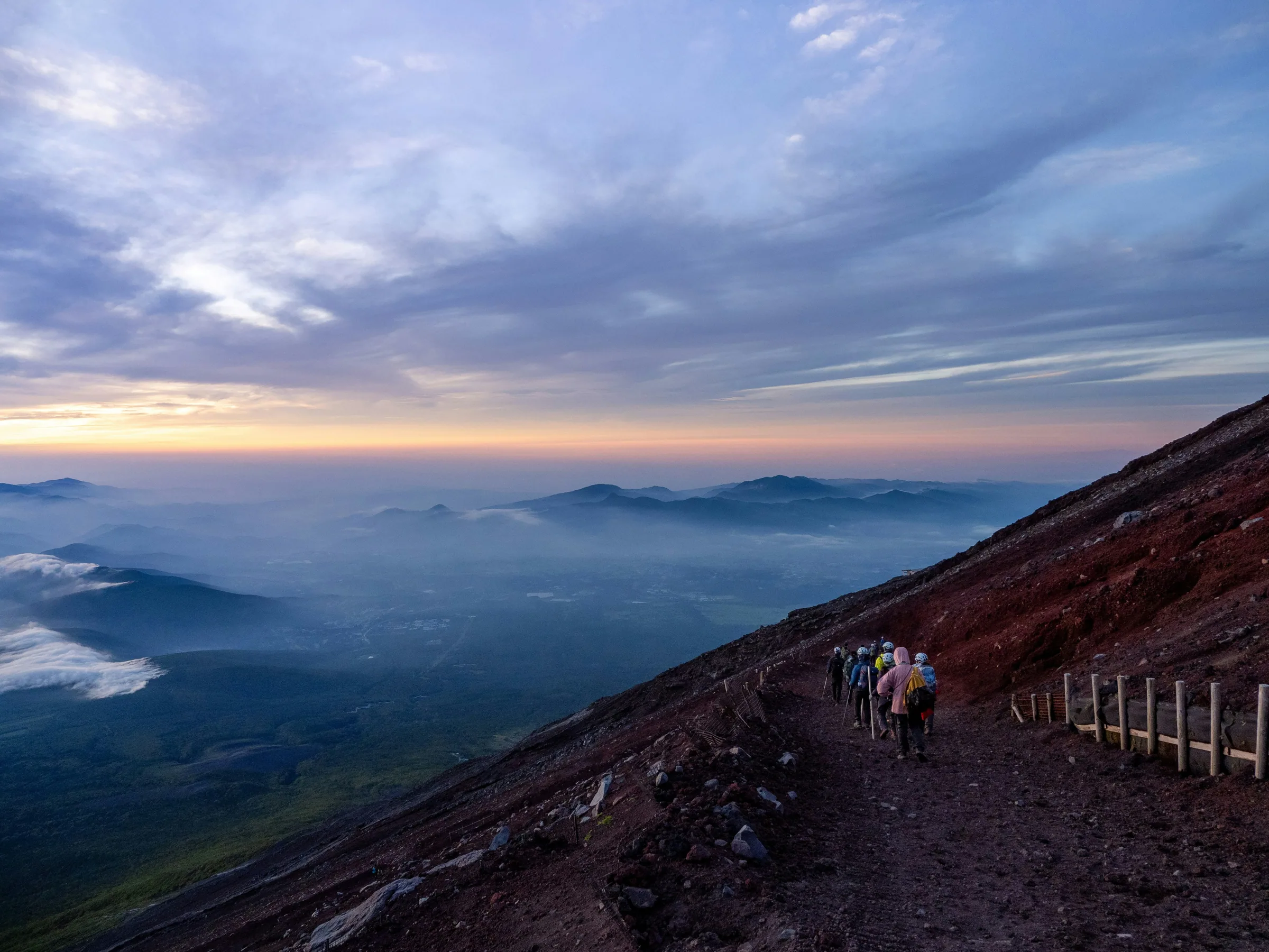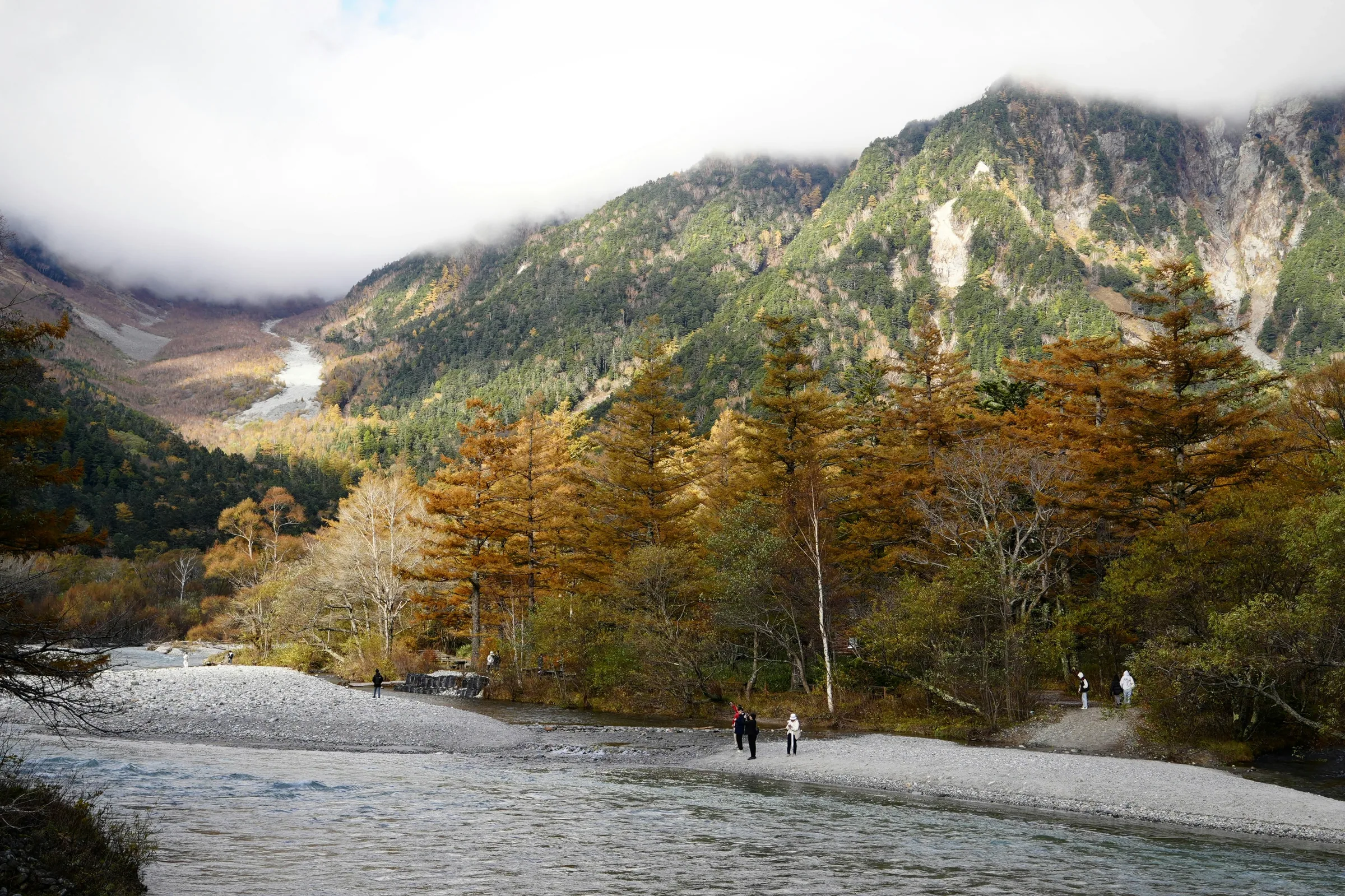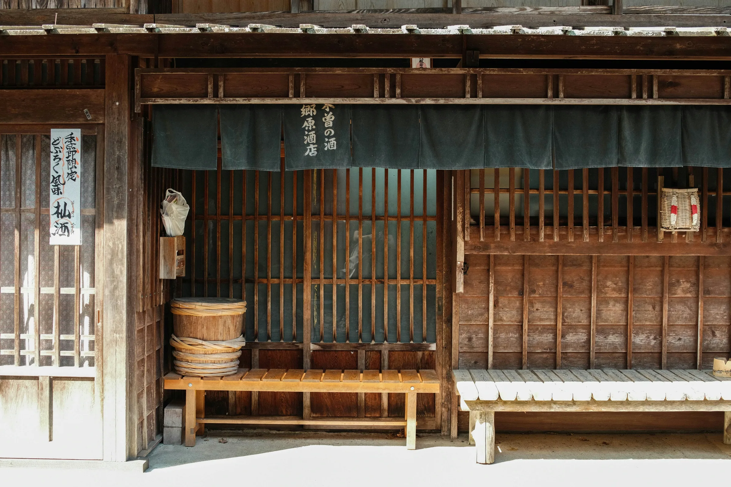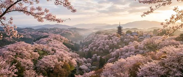

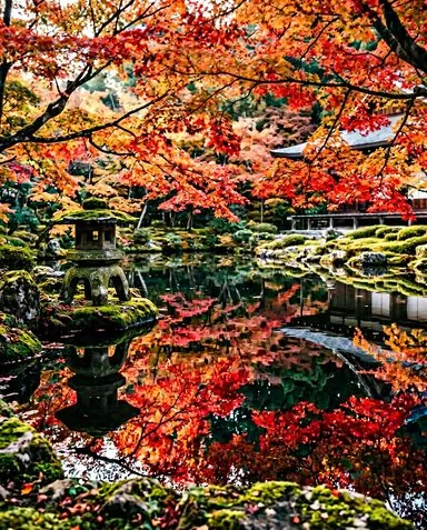

The Kumano Kodō is a 500-kilometre network of pilgrim trails threading through the mountains of the Kii peninsula in Wakayama. Inscribed as a UNESCO world heritage site in 2004, it is twinned with Spain's Camino de Santiago as one of only two UNESCO-listed pilgrimage routes on Earth — a distinction that has placed it firmly on bucket lists without yet placing crowds on the trail. Where the Camino draws more than 200,000 walkers a year, the trail stays quiet, its stone-paved paths and cedar-canopied ridges largely undiscovered by mass tourism. That gap between fame and footfall is exactly why it fits this site's mission so well.
This guide focuses on the practical: which of the network's several routes to walk, how to get there, how many days you actually need, and what completing the pilgrimage means at the end. The romance can look after itself.
Which route? The Nakahechi verdict
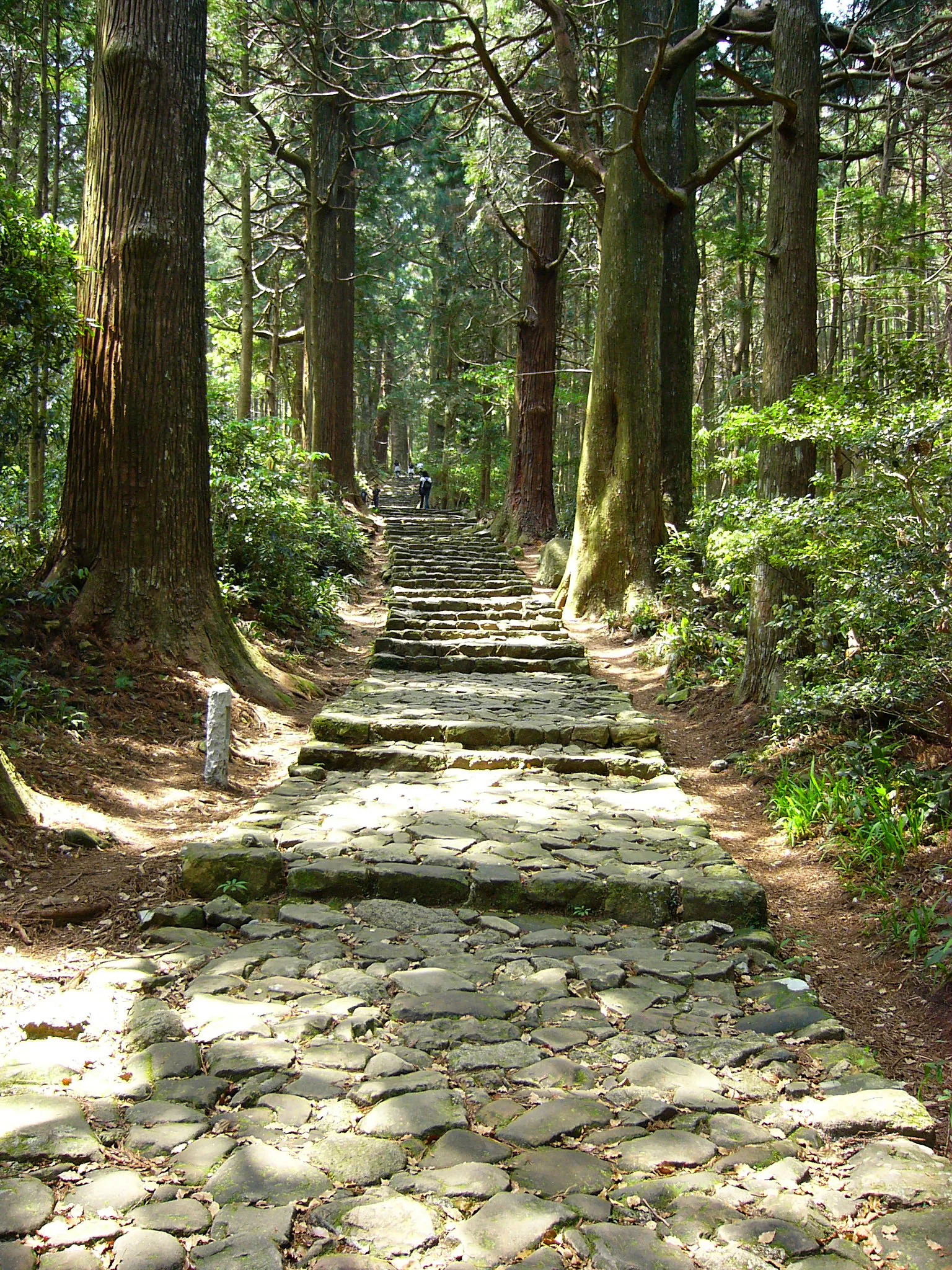
The trail is not a single path but a network of historic routes converging on the three grand shrines at the heart of the peninsula. For a first visit, the Nakahechi (middle route) is the right choice for nearly all walkers — and this guide treats it as the default.
The Nakahechi runs roughly 70 kilometres from Takijiri-oji to Kumano Hongu Taisha, following the pilgrimage road used by Japan's imperial court from the 10th century onward. It has the best-maintained trail surface on the network, the most developed staged-accommodation infrastructure (minshuku guesthouses at each village stop), and it's the route that visits all three grand shrines. The other routes have real appeal — but all have a good reason most walkers postpone them:
- Kohechi — mountain route from Koyasan to Hongu; challenging, beautiful, better as a second visit.
- Iseji — the long coastal route from Ise; very remote, with limited accommodation.
- Ohechi — short coastal section near Nachi; works as an add-on rather than a standalone walk.
- omine okugake — a severe mountain ascetics route; restricted sections and not suitable for most visitors.
Start with the Nakahechi. The rest of the network will wait.
Getting to the trailhead
The main gateway is Kii-Tanabe station, reached by JR Kuroshio limited express from Osaka or Kyoto. Buses from the station serve Takijiri-oji, the traditional start of the Nakahechi. The JR Pass covers the train leg.
Getting There
- 1Take JR Kuroshio limited express → Kii-Tanabe Station
- 2Take Meiko Bus from Kii-Tanabe Station bus stop 4 → Takijiri-oji
- 1Take JR Kuroshio limited express (direct or via Shin-Osaka) → Kii-Tanabe Station
- 2Take Meiko Bus from Kii-Tanabe Station bus stop 4 → Takijiri-oji
How many days? The 2-day vs. 4-day decision
Based on the 2-day vs 4-day framework below — two questions, then your match.
2 daysYour match
2-day Nakahechi
Forest ridges and Hongu in a compressed push. The pilgrimage without the village stays — you still earn the shrine.
Short on time but don't want to skip the trail entirely.
4 daysYour match
4-day Nakahechi
Takijiri to Hongu at a walking pace. Village nights, staged accommodation, time to absorb the trail's rhythm.
First multi-day walk — you want infrastructure and time to settle in.
4–5 daysYour match
Nakahechi + shrine circuit
Walk to Hongu, then river boat to Shingu and on to Nachi Taisha beside the falls — all three grand shrines.
You want the traditional goal: all three grand shrines in one trip.
5 daysYour match
5-day full pilgrimage
Nakahechi to Hongu, relaxed day for the river boat to Shingu, then Nachi Taisha beside the falls. No rushing.
First time completing all three shrines — more days means a calmer pace between them.
The Nakahechi was designed for multi-day walking. The rhythm of village-to-village travel — arriving at dusk, dinner with a handful of fellow walkers, an early start the next morning — is part of what separates this from a day hike to a shrine. That said, the route can be compressed without becoming a rush.
2 days
A 2-day Nakahechi covers the most dramatic trail sections by combining a longer first day on the forest ridges with a shorter second day into Hongu. You'll still arrive at the shrine having walked meaningful distance through real mountain terrain. What's lost: the village-by-village rhythm, the morning mist on the quieter passes, the physical ease of spreading the climb over more legs. Pick this if your Japan itinerary doesn't allow more and you want the essential experience rather than skipping the trail entirely.
4 days
The fuller Nakahechi — Takijiri to Hongu at a comfortable pace — gives you the route as intended. Each night in a different village, trails that change character as you move deeper into the mountains, and enough time to absorb Hongu before moving on to the other two grand shrines. Adding a 5th day allows you to complete the full three-shrine circuit via the Nachi coast and Shingu. Pick this if the walking is the point, not just the destination at the end.
Staged accommodation and luggage logistics
The Nakahechi is walked village to village, with overnight stays at minshuku — family-run guesthouses that typically include dinner and breakfast. The villages are spaced roughly one day's walk apart, so the accommodation network determines your pace.
Book as early as possible. April and May fill quickly; three months' notice is not excessive during peak season. October and November (autumn foliage) are almost as busy. Outside those windows, one to two months is usually enough, though last-minute availability on the trail itself is rare.
Luggage forwarding is available along the Nakahechi route via a service coordinated by the Tanabe tourism office. Bags are collected at your current guesthouse each morning and delivered to your next stop for a per-bag fee [CHECK current rates]. This means you walk with only a daypack — a significant advantage over four days in mountain terrain. Book the forwarding when you reserve your accommodation; the guesthouses handle the coordination. The service operates during peak season (spring and autumn) and may be limited in winter [CHECK seasonal availability].
The three grand shrines
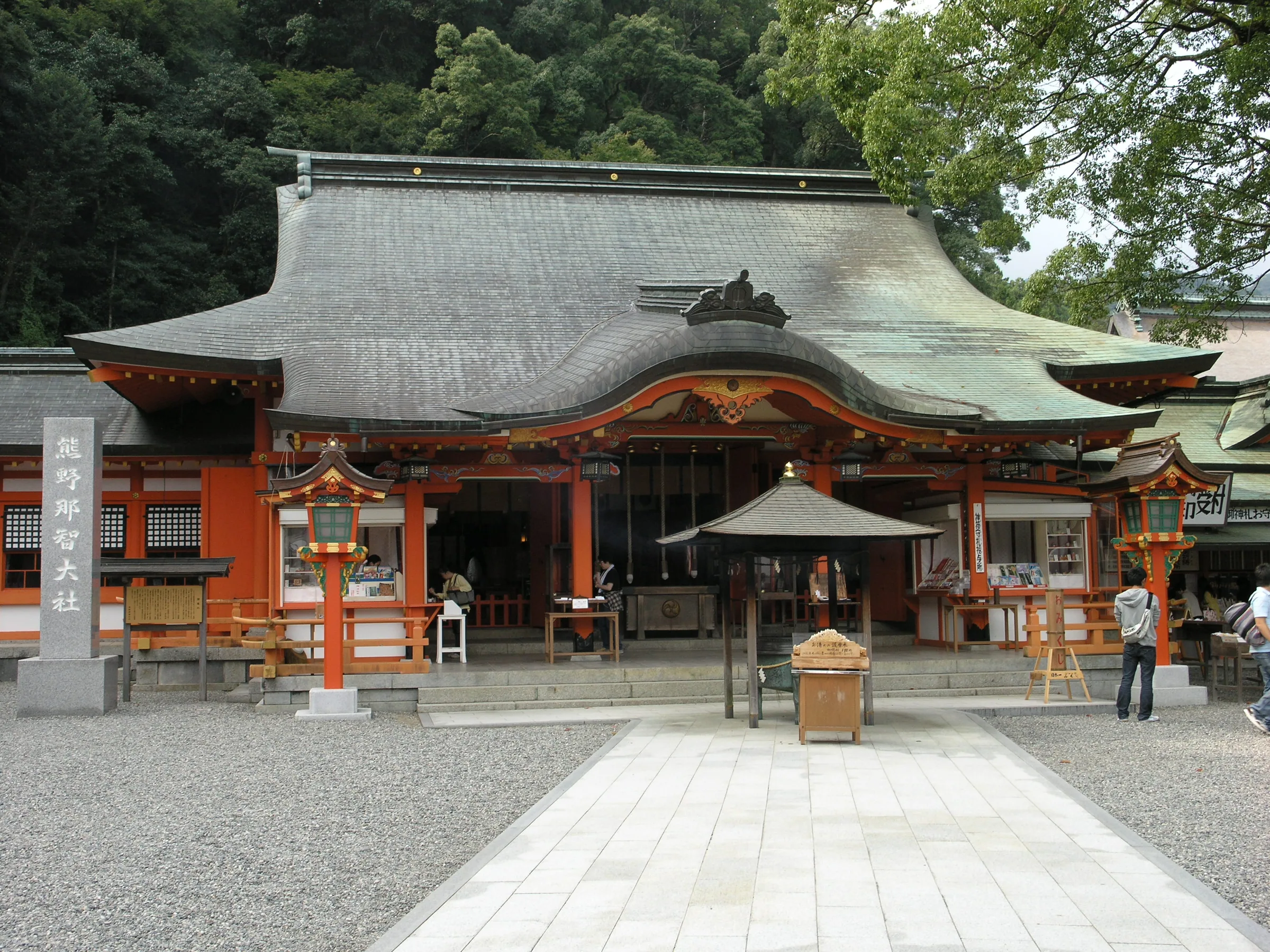
Reaching all three grand shrines is the traditional goal of the pilgrimage. Each has a distinct character and setting; together they mark the completion of the circuit.
Kumano Hongu Taisha sits deep in the forest at the end of the Nakahechi trail. The current complex dates from the late 19th century, relocated after a flood destroyed the original riverside site. That original site — Oyunohara — now holds one of Japan's largest torii gates and is worth the short detour from the main shrine.
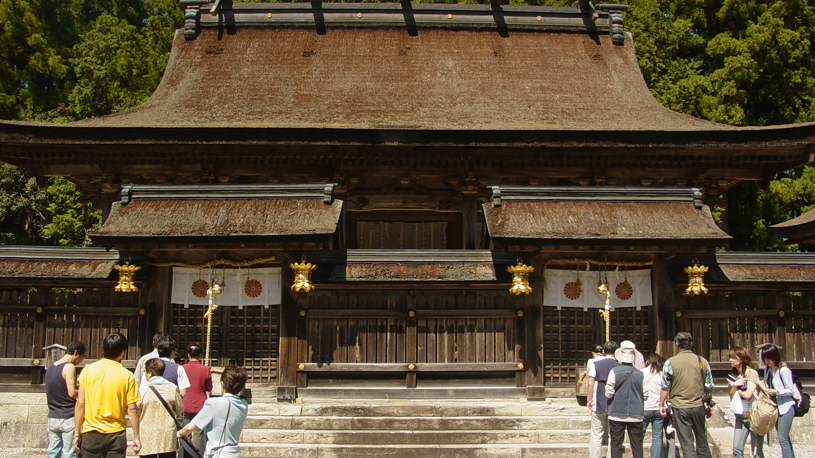 Wikimedia Commons
Shinto Grand Shrine
Kumano Hongu Taisha
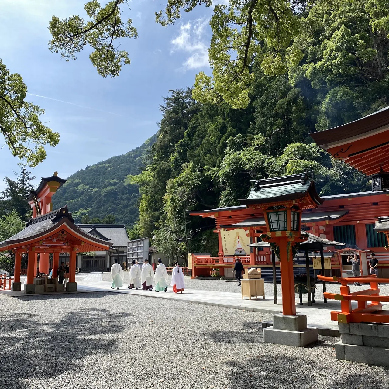
Kumano Nachi Taisha stands on a mountainside beside Nachi Falls (Nachi-no-Taki), Japan's tallest single-drop waterfall at 133 metres. The approach from the coast via Daimonzaka — a 2-kilometre stone stairway lined with centuries-old cedars — is one of the visually defining moments of the entire Kumano network.
 BWV324
Shinto Grand Shrine
Kumano Nachi Taisha
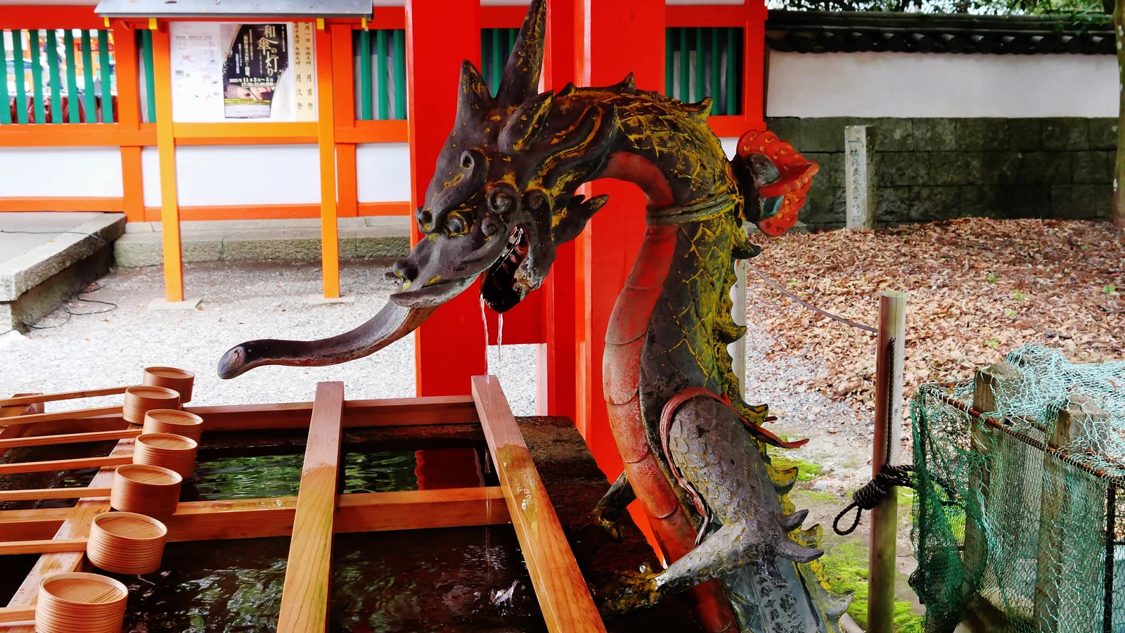
Kumano Hayatama Taisha sits at the mouth of the Kumano river in Shingu city, the coastal end of the pilgrimage circuit. A boat trip down the Kumano river from Hongu to Shingu is the traditional way to complete the journey — a 90-minute ride on a wooden flat-bottomed boat through river gorge scenery [CHECK current operator and schedule]. From Shingu, the shrine is a short walk from the landing point.
 Wikimedia Commons
Shinto Grand Shrine
Kumano Hayatama Taisha
When to go
Spring (April–May) and autumn (October–November) are the optimal seasons — comfortable walking temperatures, full accommodation availability, and the trail at its most photogenic. These are the trail's busiest periods, though "busy" is relative: expect to share the trail with a handful of other walkers, not a column of them.
Summer (June–August) brings intense heat and humidity to the Kii peninsula, plus heavy rainfall through the rainy season in June and early July. The trail is walkable but demanding; leeches are common on wet days. Winter (December–February) is cold at altitude, and some guesthouses reduce their season or close entirely. Snow at lower Nakahechi elevations is rare; the trail is passable, and the near-total absence of other walkers has a quiet appeal if accommodation can be confirmed.
On crowd comparison: the trail remains genuinely quieter than either of its equivalents. The Camino draws more than 200,000 pilgrims annually; Japan's own Shikoku 88-temple circuit sees large numbers, though the majority travel by car or bus rather than on foot. During peak season on the Nakahechi, you'll encounter dozens of walkers per day, not hundreds. The mountain guesthouses still function at a human scale. That gap is the reason to go now, before awareness catches up with reputation.
Practical tips
- Rain gear is not optional. The Kii peninsula is one of Japan's wettest regions. A waterproof jacket and waterproof footwear or gaiters are non-negotiable.
- Start each day early. Mountain weather deteriorates in the afternoon, and guesthouses serve dinner at a fixed hour — arriving with time to spare is expected.
- Pilgrim passport: The Tanabe tourism office issues a stamp passport for the Nakahechi. Each oji wayside shrine and guesthouse stamps it; walkers who have also completed the Camino de Santiago can use it to apply for dual pilgrim certification [CHECK current application process].
- Offline maps: Download trail maps (Gaia GPS or Maps.me cover the route) before you leave Tanabe. Mobile coverage is intermittent in the mountains.
- Layers matter. Morning temperatures on the higher passes are significantly cooler than the valleys, even in May and October.
For walkers who want a longer pilgrimage circuit, the Shikoku 88-temple pilgrimage is the alternative — a 1,200-kilometre Buddhist circuit that takes 45–60 days on foot. Very different in character (more urban, temple-focused rather than Shinto, crossing four prefectures), but the natural next step for anyone drawn to Japan's walking-pilgrimage traditions.
The hiking in Japan guide places this pilgrimage in the broader context of Japan's long-distance trails — useful if you're choosing between multi-day route options for a trip.
FAQ
How many days do you need to walk the Kumano Kodo?
For the Nakahechi route from Takijiri-oji to Kumano Hongu Taisha, the realistic range is 2 to 4 days. Two days covers the route in compressed form with longer daily stages; four days is the comfortable pace, with time to settle into each village along the way. Adding a 5th day allows you to complete the full circuit to all three grand shrines via the Nachi coast and Shingu.
Which route should first-time walkers choose?
The Nakahechi (middle route) is the right first choice for nearly all visitors. It has the best-maintained trail surface, the most developed accommodation network, and it leads to all three grand shrines at the end. Other routes — the Kohechi mountain crossing, the remote Iseji coastal route, the omine okugake — are worth exploring on return visits but are significantly more demanding or logistically complex.
Is the Kumano Kodo like the Camino de Santiago?
Structurally similar: both are multi-day pilgrim routes through mountain terrain converging on a set of sacred sites, both have accommodation networks designed for staged walking, and both hold a formal twinning agreement (with a dual pilgrim certification for walkers who complete both). In atmosphere, the trail is quieter, more forested, and less social than the Camino. Expect a more solitary mountain experience with fewer fellow walkers.
Do I need to carry my luggage the whole way?
No. A luggage forwarding service operates along the Nakahechi route during spring and autumn, coordinated by the Tanabe tourism office. Bags are collected at your current guesthouse each morning and delivered to your next overnight stop for a per-bag fee [CHECK current rates and seasonal schedule]. Book the forwarding when you reserve your accommodation — the guesthouses manage the logistics. Walking the route with only a daypack makes the daily distances noticeably more manageable.
What's the best time of year to walk the Kumano Kodo?
April–May and October–November offer the best conditions: comfortable temperatures for multi-day walking, clear skies, and full accommodation availability. Spring coincides with new growth along the trail; autumn with foliage colour on the higher passes. Summer is possible but hot and humid, with heavy rain in June–July. Winter walking is viable on the lower Nakahechi sections but accommodation is reduced and some guesthouses close entirely — confirm before planning a winter itinerary.
For a wider view of the region, Wakayama prefecture pairs well with a visit to this trail: Koyasan (the starting point of the Kohechi route) is accessible in a half-day from Osaka, and the prefecture's coastal towns, Dorokyo river gorge, and onsen villages fill out a 7–10 day Kansai itinerary naturally.