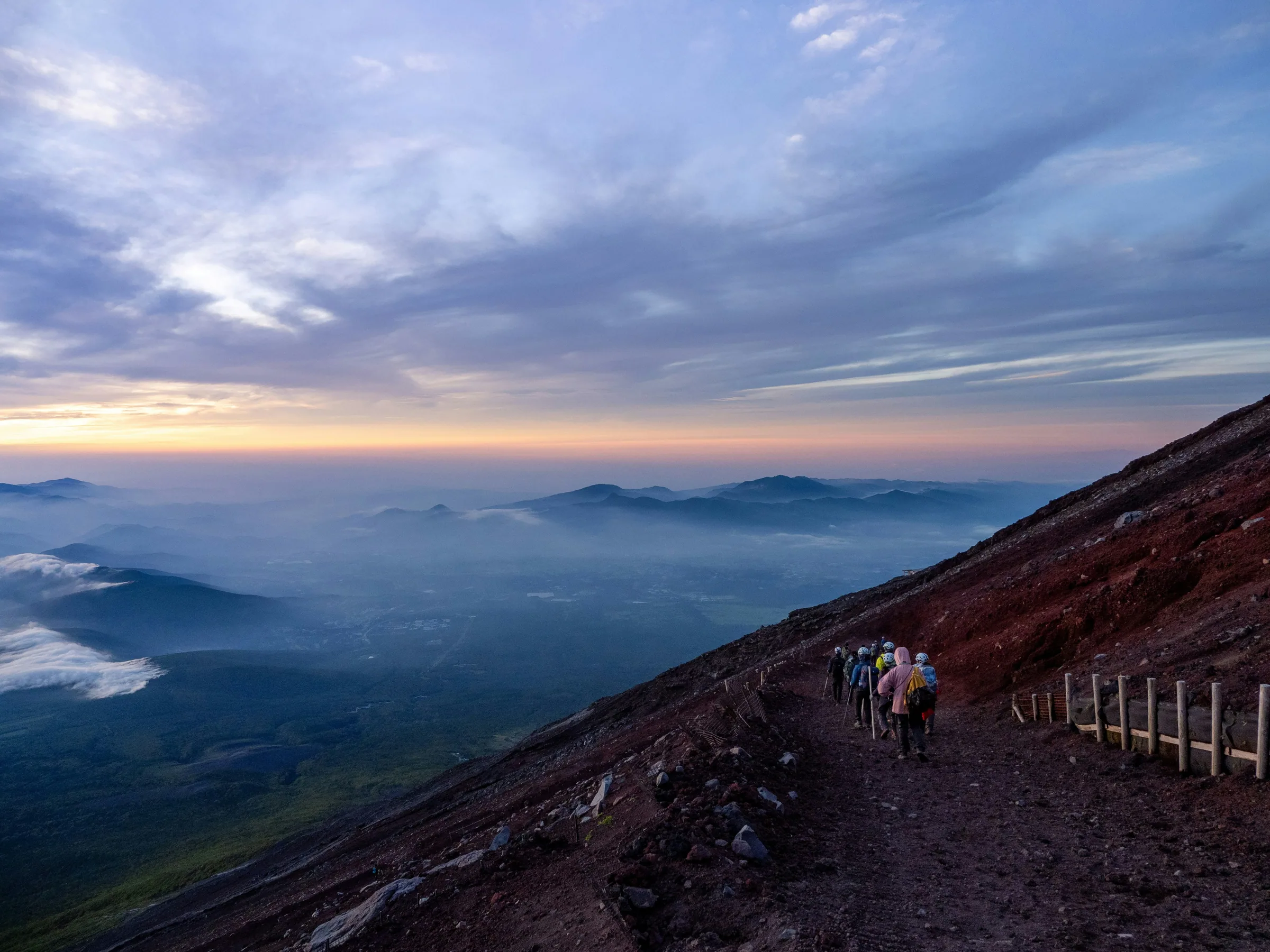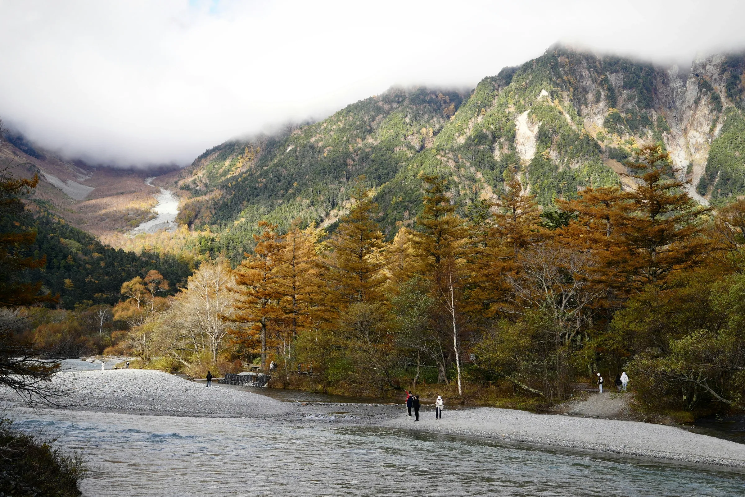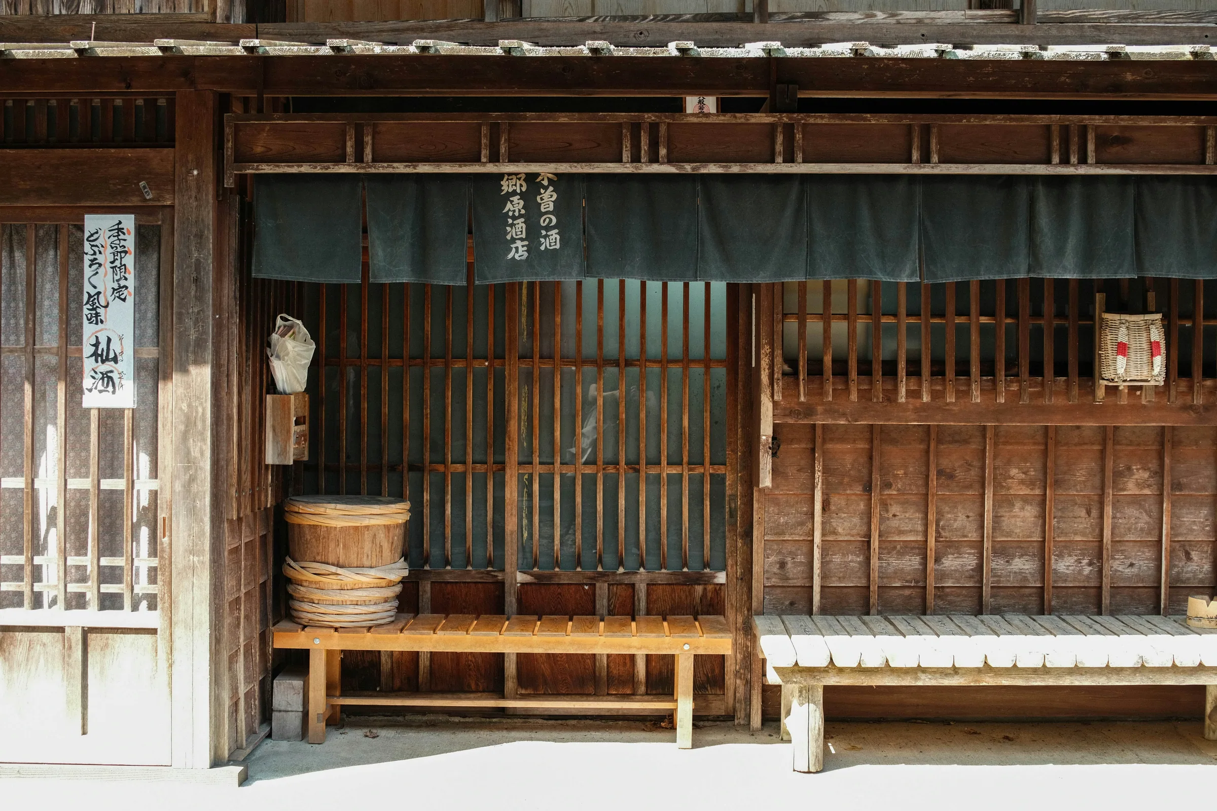

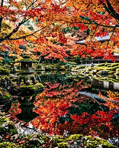

The Kumano Kodo is a network of ancient pilgrimage trails threading through the mountains of Japan's Kii region, UNESCO-listed alongside the Camino de Santiago as one of only two sacred road systems to hold that joint designation. Of the five main routes, the Nakahechi is the most accessible for independent walkers: a 3-day overland walk from the Takijiri-oji trailhead through deep cedar forest to Kumano Hongu Taisha, the holiest of the three grand shrines. No tour operator required.
What to expect
Which route to walk
The Kumano Kodo has five main routes radiating across the Kii mountains. For most independent walkers, the choice is straightforward: the Nakahechi (中辺路), also called the imperial route, because the Japanese imperial family and aristocracy walked it for centuries. The trail from Takijiri-oji to Kumano Hongu Taisha covers roughly 50 kilometres over three days, is well-signed in both English and Japanese, and has accommodation spaced at realistic daily distances.
The alternatives deserve a brief mention:
- Kohechi: links Kongobu-ji on Koyasan directly to Hongu across four high mountain passes in four days. More dramatic, considerably harder, less infrastructure; for experienced walkers who want empty trail.
- Ohechi: the coastal route along the Kii shoreline, underrated and very different in character from the inland forest.
If you want your first Kumano Kodo experience to go well, walk the Nakahechi.
One clarification on distances: the Nakahechi's Takijiri-oji to Hongu section is the stretch UNESCO prioritised, the part tour buses cannot follow, and the only section where you share the forest with single-digit numbers of other walkers on a typical weekday.
Which Kumano Kodo route suits you?
Your time and fitness level determine which route to walk.
2 daysYour match
Nakahechi 2-day shortcut
Day 1: Takijiri-oji to Chikatsuyu (14 km). Day 2: Chikatsuyu on foot, then bus to Hongu. You walk the best forest and skip only the most remote section.
You have 2 walking days
4 daysYour match
Kohechi mountain route
From Koyasan directly to Hongu across four high mountain passes. More dramatic, considerably harder, with less infrastructure; suited to experienced walkers with extra time.
You have 4+ days and strong mountain fitness
3 daysYour match
Nakahechi classic
Takijiri-oji to Hongu in 3 days (50 km): the well-signed route with accommodation at each stop, a bus escape on Day 2, and the experience most independent walkers aim for.
You have 3 or more days and want a well-supported trail
The night before: Koyasan
Many walkers begin with a night on Koyasan (Mt. Koya), the mountain temple town two hours south of Osaka. Sleeping at Eko-in Temple, one of Koyasan's shukubo (temple lodging) that regularly accepts foreign visitors, sets the right tone before starting: a vegetarian Buddhist dinner, morning ceremony in the temple hall, and a courtyard garden that has changed little in centuries. Book well ahead from September to November.
The evening is for Kongobu-ji, the head temple of Shingon Buddhism and the administrative heart of the entire Koyasan monastic complex, and then Kongobu-ji Okuno-in, the ancient cemetery and mausoleum at the far end of Koyasan where Kukai, Shingon's founder, is said to rest in eternal meditation. The two-kilometre cedar-lined approach to the inner sanctuary, flanked by hundreds of stone lanterns and centuries of moss-covered grave markers, is the most atmospheric kilometre on the mountain. Walk it as the lanterns come on at dusk.
Walkers who cannot spend a night on Koyasan can skip directly to Tanabe city by train from Osaka and take the regional bus to Takijiri-oji. The walk is the same; only the opening chapter changes.
Day 1: Takijiri-oji to Chikatsuyu (about 14 km, 6–7 hours)
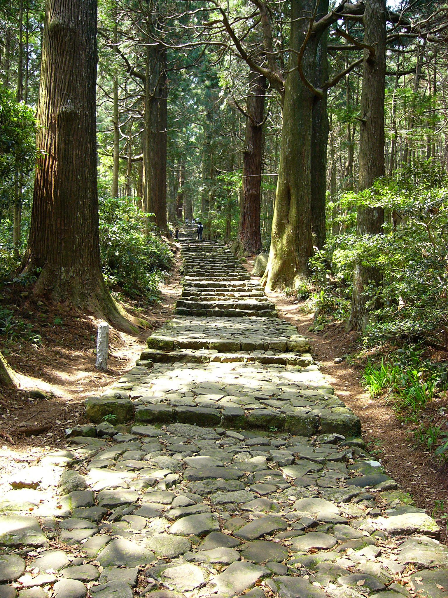
Takijiri-oji marks the traditional boundary between the everyday world and the Kumano sacred zone. There is a small interpretive shelter and a river crossing, and then the trail begins immediately with a steep climb through cedar. The first two kilometres are the most abrupt of the entire three-day route. After the ridge, the path settles into a rhythm of forested descents, stone oji shrine markers, and narrow farming roads through mountain hamlets.
The trail character on Day 1 is the most varied of the three days: the forest opens occasionally to reveal valley views, roadside rest shelters (chaya) appear on the path between March and November, and the stone paving beneath your feet is some of the best-preserved on the whole Nakahechi. The descent into Chikatsuyu village at the end of the day is a genuine reward.
- Overnight: Chikatsuyu, a cluster of small guesthouses and minshuku. Book through the official kumano-travel.com service, 4–6 weeks ahead for October and November weekends.
Day 2: Chikatsuyu to Koguchi (about 18 km, 7–8 hours)
Day 2 is the most demanding. The trail climbs over multiple ridges, passes through the remote mountain village of Nonaka, and works south through forest that sees very little day-traffic. The elevation gain is cumulative, the villages are small, and the sense of remoteness is genuine by midday. This is the day walkers who trained on weekend hikes find out whether they trained enough.
One legitimate escape exists: a bus from the Watarase hot spring area can carry you toward Hongu or back toward Tanabe if the weather deteriorates or someone in the group is struggling. Check the day's timetable at tb-kumano.jp before you set out; buses are infrequent and the last departure is early. Most walkers continue on foot and treat the escape as a contingency rather than a plan.
- Overnight: Koguchi, a hamlet with only a handful of beds; reserve well ahead via kumano-travel.com. There are no shops, so carry snacks and any medical supplies from the previous night.
Day 3: Koguchi to Kumano Hongu Taisha (about 16–20 km, 6–8 hours)
The final day begins with a sustained climb and then descends steadily toward the river valley. The forest on this section is among the most ancient on the route, the trail well-paved and quiet. A long riverside approach follows the river before the path climbs one final wooded ridge and delivers walkers to Kumano Hongu Taisha.
Arriving at Japan's most sacred Shinto shrine on foot, after three days of mountain forest, is a significantly different experience from arriving by tour bus. The shrine is free to enter; collect a pilgrim's stamp at the shrine office if you have been carrying a stamp book.
From the shrine, a 15-minute walk leads to Oyunohara, the original shrine site before a catastrophic flood in 1889 swept most of it away. It is now an open gravel riverbed marked by Japan's largest torii gate, roughly 34 metres high, and the contrast between the flood-plain and the forest behind it is striking.
For walkers with only two days: a bus from the Watarase hot spring (accessible from the Day 2 trail) to Hongu cuts the Koguchi-to-Hongu section entirely. You walk the most atmospheric forest of Day 1 and the hardest terrain of Day 2, then bus to the finish. The experience is abbreviated but not trivial.
The three grand shrines
Kumano Hongu Taisha is the shrine walkers arrive at on foot. It is the spiritual core of the pilgrimage: the crow god Yatagarasu, a three-legged raven that guided the mythological emperor Jinmu, is the symbol of the shrine and appears on everything from shrine ema (votive plaques) to Japanese football kit. The forest shrine grounds are free to enter; the inner sanctum closes to visitors.
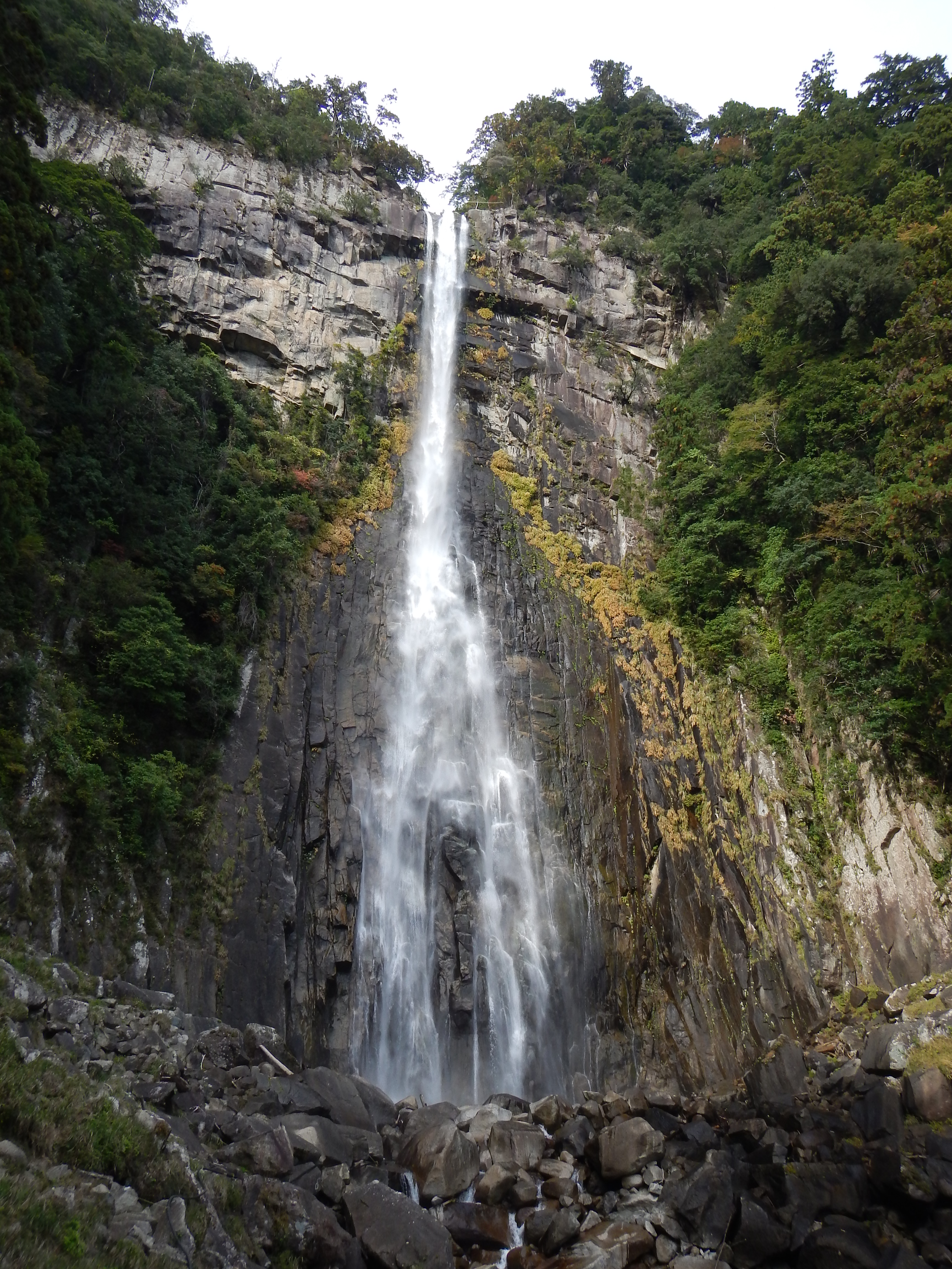
Kumano Nachi Taisha is the shrine most tourists visit. It sits above Nachi Falls, Japan's tallest waterfall at 133 metres, and from the pagoda platform the falls and shrine appear in the same frame, a composition that has been painted and photographed since the Heian period. Most visitors arrive via Daimonzaka, a 600-metre cedar-lined stone stairway that buses drop tourists at. It is beautiful. It is also nothing like the Nakahechi. Buses link Hongu with Nachi; they are infrequent, so check the day's timetable before committing.
Kumano Hayatama Taisha at Shingu is the least visited of the three, standing at the mouth of the Kumano river where it meets the Pacific coast. The shrine grounds contain one of Japan's oldest living Nagi trees, and the precinct is genuinely quiet on most days. If you have a full day to spare before heading back to Osaka or Kyoto, Shingu and Kumano Hayatama Taisha are the honest answer to "where aren't the crowds?"
How to get there
Getting There
- 1Take Nankai Koya Line to Gokurakubashi Station → Gokurakubashi Station
- 2Transfer to Koyasan Cable Car → Koyasan Station
- 3Bus or walk to Koyasan accommodation
- 4Next morning: Nankai train south then JR connections to Kii-Tanabe Station
- 5Kumano Kotsu bus from Kii-Tanabe Station to Takijiri-oji trailhead → Takijiri-oji
The Nankai line to Koyasan is not covered by any JR Pass.
- 1Take JR Kuroshio Express to Kii-Tanabe Station → Kii-Tanabe Station
- 2Kumano Kotsu bus from Kii-Tanabe Station to Takijiri-oji trailhead → Takijiri-oji
The Kuroshio Express is covered by the JR Pass (West).
Tips
- Best months: Mid-October to mid-November for cool temperatures and autumn colour on the ridges. March to early April is mild and dry before the summer rainy season. July and August bring serious heat, blood-sucking ground leeches, and typhoon risk: plan accordingly or avoid entirely.
- Book accommodation early: Accommodation on the Nakahechi is limited, especially around Koguchi. Use the official kumano-travel.com booking service and reserve 4–6 weeks ahead for October and November weekends. Mid-week slots in spring are usually available 2–3 weeks out.
- Cash only between villages: There are no ATMs on the Nakahechi between Kii-Tanabe and Hongu. Carry sufficient yen before leaving the start; your accommodation will not accept cards.
- Luggage forwarding: A daily baggage-forwarding service (takkyubin) runs between major accommodation stops on the route. Book through your current night's guesthouse by the evening before; your main bag meets you at the next inn. You walk with a daypack.
- Trekking poles: Worth bringing for the long descents on Day 2 and Day 3. The stone-paved sections are slippery when wet, and the trail sees significant rain throughout the year.
- Leeches: Ground leeches are active roughly June through September, peaking after heavy rain. Wearing gaiters, tucking trousers into socks, and applying salt or DEET to boot uppers before each start reduces encounters significantly. From October, leeches are generally absent on the main path.
- Getting back: From Hongu or Shingu, take the bus to Shingu or Shirahama, then the JR Kuroshio Express to Shin-Osaka (approx. 2.5–3 hours) or Kyoto (approx. 3–3.5 hours). The JR Pass (West) covers the Kuroshio Express.
- The JR Pass and Koyasan: The Nankai Railway to Koyasan is not covered by any version of the JR Pass. Budget approximately ¥3,000–4,000 for the Nankai round-trip from Osaka Namba.
Nearby
From Kumano Hongu Taisha, the other two grand Kumano shrines are each within one to two hours by bus.
FAQ
Is the Kumano Kodo suitable for inexperienced hikers?
The Nakahechi is a long-distance mountain trail, not a casual walk. Day 2 covers about 18 km with significant elevation gain and should not be underestimated. Walkers who regularly do 15–20 km day hikes on mixed terrain, including ascents, generally manage it well. The requirements are reasonable fitness, appropriate footwear (trail shoes or hiking boots, not trainers), and an early start each morning. If in doubt, test your fitness on a full-day hike before booking the Nakahechi.
How many days do I need for the Kumano Kodo?
Plan for five nights at minimum: one on Koyasan, three walking the Nakahechi, and one night in Hongu or Shingu to explore the shrines before heading back. If you only have two walking days, the Watarase hot-spring bus to Hongu on Day 2 replaces the Koguchi-to-Hongu leg. You cover the Nakahechi's best forest on Day 1 and its hardest terrain on Day 2, then arrive at Hongu by mid-afternoon.
Does the JR Pass cover travel to the Kumano Kodo?
Partially. The JR West pass covers the Kuroshio Express between Osaka/Kyoto and Kii-Tanabe or Shingu, which is the main access point for Takijiri-oji and the most practical exit after finishing. It does not cover the Nankai Railway to Koyasan, nor local buses between trailheads and shrines.
When are the leeches worst?
Ground leeches on the Nakahechi are most active from June through September, particularly in the days after heavy rain. They are not dangerous but are genuinely unpleasant and difficult to spot until they have attached. October is generally clear of leeches on the main path. If walking in leech season, wear gaiters from the start each morning and carry salt or insect repellent for your boots.
Can I walk the Kumano Kodo without a guide?
Yes. The Nakahechi is clearly marked in both English and Japanese, with wooden directional signs at every junction and stone oji markers along the path. The official site at tb-kumano.jp publishes downloadable maps and route notes for each section. Guided walks are available and are worth considering for the harder Kohechi route, but for the Nakahechi, independent walking is straightforward and the standard way to do it.